


Mapster app for iPhone and iPad
Developer: Syzygy Research & Technology Ltd.
First release : 03 May 2011
App size: 11.39 Mb
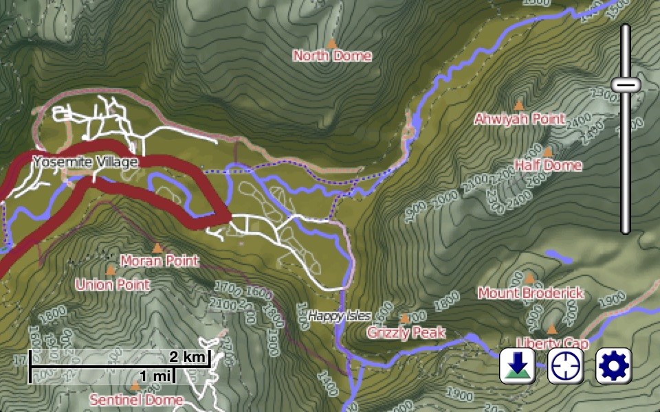
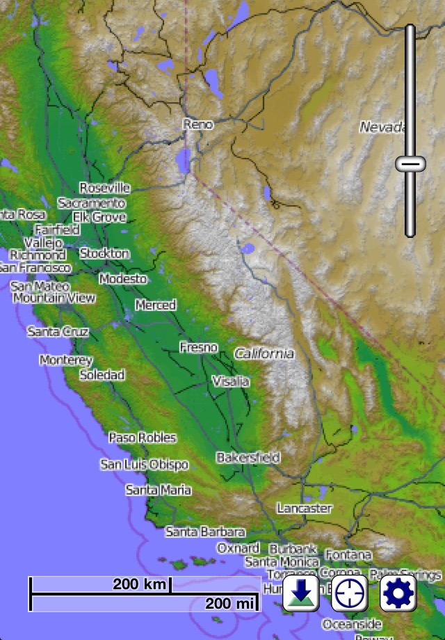
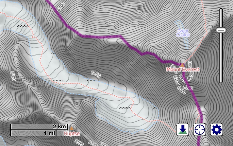
With Mapster, you can view, download, and store incredibly detailed maps (which include stunning topographical hillshading and contour lines) for any part of the Earth. Whether youre interested in finding new hiking trails, ski runs, back streets, freeways, or just want to explore the physical geography of our planet, you will never run out of things to discover. Now, you can have maps available even in places where you have no Internet service - when you need them the most!
There is more involved to providing accurate, practical, and visually appealing maps than just drawing lines where roads are. Our Earth isnt flat, so the way it appears on your screen shouldnt be either. To this end, we have spent a lot of time collecting topographical information for the entire planet, and presenting it in an intuitive and practical way. If there is a small hill or valley in the area you are interested in looking at, it will likely be obvious in Mapster. This provides all kinds of practical benefits for the outdoor enthusiast - if youre the type of person who enjoys hiking or cycling, youll know ahead of time what to expect.
Of course, there is a lot more to Mapster than just a visualization of the terrain in an area. We use data from the OpenStreetMap project to be able to show you where roads, trails, stores, coffee shops, and hundreds of different types of features can be located. Approximately a billion points make up the current OpenStreetMap data set, and the collection is continuing to grow at an astounding rate.
Mapster doesnt rely on mapping data that quickly becomes outdated. Approximately once per month, our servers update the map information with the latest changes submitted by hundreds of thousands of users around the world, and keep your iPhone, iPod, or iPad current automatically. As a Mapster user, you obtain privileged access to incredible maps of our entire planet, at a level of detail never before seen.
By using your devices built-in ability to determine its location (through a combination of GPS, cell phone triangulation, and WiFi site analysis technologies), youll always know whats "around the next corner". And if youre the sort of person who likes to explore areas where there is no cell phone or Internet service, thats no problem. Unlike some other map software that requires a live Internet connection to provide you with information, the map details you download to your device are cached, so they stick around and are available even when youre in the middle of nowhere (perhaps not so surprisingly, some of the most interesting places on the planet are "in the middle of nowhere"). If you are planning on exploring an area, all you need to do is tell Mapster to download the details of that location before you leave.
Theres quite literally an entire planet out there waiting to be explored, whether youre looking for new restauraunts in your community, or kayaking down a river surrounded by a tropical rainforest (though for the latter, wed suggest also bringing along a waterproof bag to keep your iPhone/iPod/iPad in). With Mapster along for the ride, youll see the Earth as you never have before.
NOTE: To prevent excessive bandwidth on our servers providing the map data, the free version of this app is restricted to downloading a fixed amount of map data per day, roughly equivalent to around 5 or 10 minutes of panning around and zooming in interactively (and obviously much less if you decide to batch download maps). To remove this restriction, inexpensive monthly and yearly subscriptions are available as in-app purchases which give you access to obtaining as much map data as youd like.